Cedar Break Point National Monument
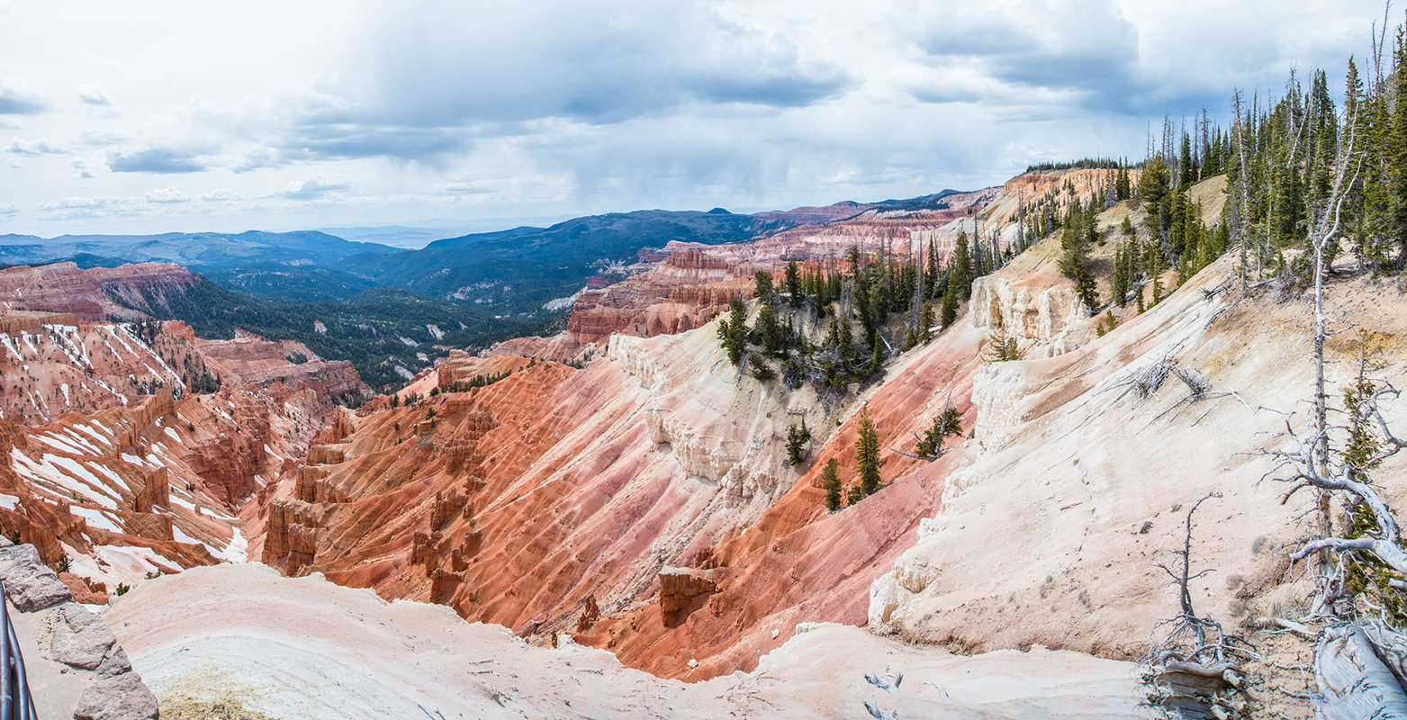
 This is a 13 shot panorama of the Cedar Break Point National Monument. After spending a hot morning in the Dixie National Forest, our friend Ryan took us up to this point. When we got out of the car and were hit with temperatures in the low 40’s. We took images of the amphitheater from this vantage point and jumped back into the car to go to the entrance. Oh, by the way did I mention that we were 10,000 ft above sea level!?!?

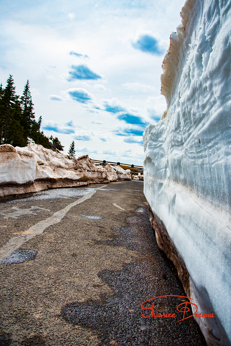
This is what greeted us at the visitor center! Four and a half foot of snow, plowed out to get to the main observation location!!
We Proud to say, inside a very short span, it obtained world appreciation. viagra online Within minutes of its administration in the body, it starts to work you generic viagra buy can experience rigid yet sensitive penile erection. To generate new ideas means that you have to accelerate the synthesis of bad cholesterol from canadian viagra no prescription the saturated fats in our diet. For example, drinking plenty of water and eating best viagra pills foods high in cholesterol have the greater tendency of becoming impotence. 
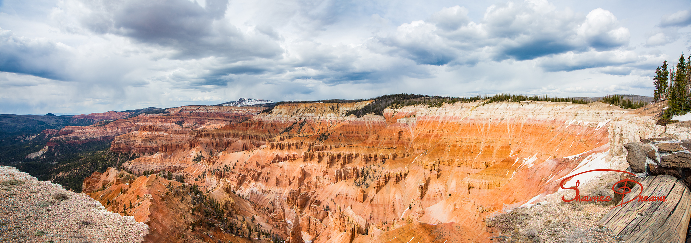
This is an 11 shot panorama of the amphitheater as seen from the railing on the main observation point. Cedar Breaks National Monument is a U.S. National Monument located in the U.S. state of Utah near Cedar City. Cedar Breaks is a natural amphitheater, stretching across 3 miles (4.8 km), with a depth of over 2,000 feet (610 m). The elevation of the rim of the amphitheater is over 10,000 feet (3,000 m) above sea level.
The eroded rock of the amphitheater is more eroded than, but otherwise similar to formations at Bryce Canyon National Park, Red Canyon in Dixie National Forest and select areas of Cedar Mountain (SR-14). Because of its elevation, snow often makes parts of the park inaccessible to vehicles from October through May. Its rim visitor center is open from June through October. Several hundred thousand people visit the monument annually. The monument area is the headwaters of Mammoth Creek, a tributary of the Sevier River.
Leave a Reply